⚠ Lot-area discrepancy
GIS parcel (0.42 ac) is 57% LARGER than the assessor's recorded 0.27 ac (+6,752 sf). Likely a lot assemblage (adjacent lot merged into the parcel) not yet reflected in the assessment, or a stale CAMA land line. Verify against the deed/survey.
Assessor record: 0.27 ac · GIS polygon: 0.425 ac · gap: +6,752 sf (57.4%).
Property record
- Parcel / Tax acct
- 18850-52-031-00
- Taxlot
- 18850-52-031-00
- Owner
- HEITZ MICHAEL- EST OF & HEITZ NANCY
- Zoning
- R12 — Single family
- Zoning authority
- Darien, CT (municipal zoning)
- Last sale
- 2021-09-21
- Real market value
- $1,289,300
- Assessed value
- $902,510
- FEMA flood zone
- X · not in SFHA
- County FIPS
- 09190
- Census tract
- 09190030300
- Congressional district
- Congressional District 4
- Year built
- 1929
- Living area
- 3,526 sf
- Beds / baths
- 5 bd · 2.1 ba
- Data quality
- ct_state_parcel_cama
Ownership & sale history
| Event | Date | Price |
|---|---|---|
| Most recent transfer | 2021-09-21 | $0 — non-arms-length / estate transfer |
| Prior transfer | 2016-06-29 | $0 — non-arms-length / estate transfer |
- Assessed — total
- $902,510
- Assessed — land
- $546,700
- Assessed — building
- $355,810
- Appraised market
- $1,289,300
- Valuation year
- 2018
- Mailing address
- 4 WOODLAND DRIVE, DARIEN, CT
Program (interpreted from concept)
TODO — interpret the concept drawing (vision) into a site program.
Regulatory overlays
| Overlay | Finding | Source |
|---|---|---|
| FEMA flood | Zone X — minimal flood hazard; NOT in a Special Flood Hazard Area. No floodplain construction constraints / no mandatory flood insurance. | FEMA NFHL |
| Inland wetlands | CT regulates inland wetlands at the MUNICIPAL level (Darien Inland Wetlands & Watercourses Commission). Confirm no regulated wetland/watercourse within the ~100 ft upland review area before site work. | CT DEEP / Darien Inland Wetlands |
| Coastal (CAM) | Darien is a Long Island Sound shoreline town; confirm the parcel is outside the Coastal Area Management (CAM) boundary (this lot is inland ~1 mi, likely out). |
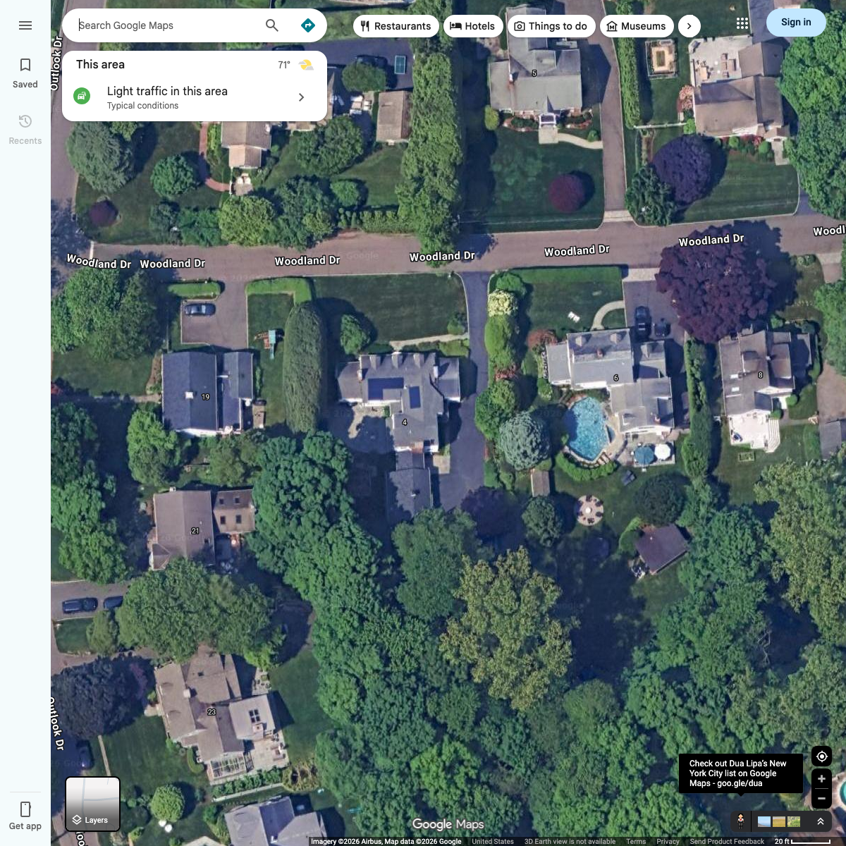
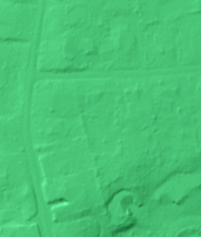
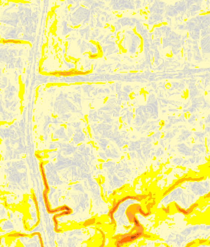
Property & site imagery

Permits & approvals — confirm each
| Permit / review | Agency | Status | Rationale |
|---|---|---|---|
| Building permit | Darien Building Dept | TBD | 2022 CT State Building Code. Required for any new structure / addition / structural alteration — confirm against scope. |
| Zoning compliance / P&Z | Darien Planning & Zoning | TBD | Zone R12 — verify setbacks, building coverage, and FAR for the proposed work. |
| Inland wetlands review | Darien IWWC | N/A (conditional) | Only if work occurs within a regulated wetland/watercourse or its 100-ft upland review area. FEMA Zone X; confirm no on-site wetland. |
| Trade permits (elec / plumb / mech) | Darien Building Dept | TBD | Separate trade permits as the scope requires. |
| Health / septic | Darien Health Dept | TBD | Required only if the property is not on public sewer — confirm service. |
Permit history & portal: Darien permits are filed via the OpenGov/ViewPoint portal. Online records cover recent permits; full permit history before Aug 2021 exists only as in-person 'street cards' at Town Hall. https://darienct.portal.opengov.com/
Permit history (issued)
| Filed | Purpose | Valuation | Permit # | Cert. |
|---|---|---|---|---|
| 15-MAY-1998 | BLDG | $85,000 | 25252 | 26-MAY-2000 |
| 09-JUN-2016 | ADDITION | $100,000 | 39304 | 11-OCT-2016 |
| 22-FEB-2017 | ALT | $30,000 | 39815 | 16-MAY-2017 |
| 29-AUG-2023 | SOLAR | $13,000 | B-23-442 | 21-SEP-2023 |
Source: https://assessment.darienct.gov (Tyler iasWorld Public Access). Valuations are declared job cost. Older permits may exist only on in-person records.